EXECUTIVE SUMMARY
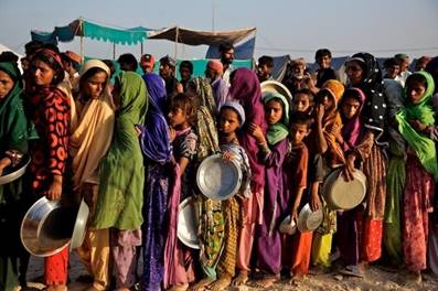
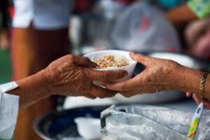
In Pakistan there are many families who are living below standard of life. They are even unable to afford complete nutritionist food. There is a dire need to reach out to the people specifically living in under-privileged areas of our society. They also face a rampant problem of malnutrition.
In order to provide food to the most vulnerable families (irrespective of caste, creed, religion and gender) at free of cost, a project of Food
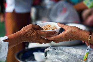
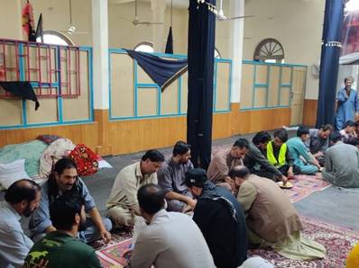
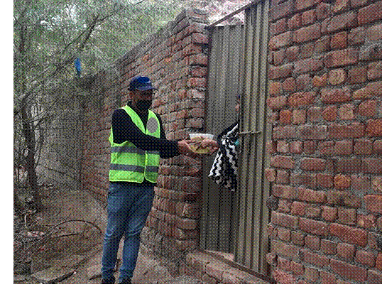
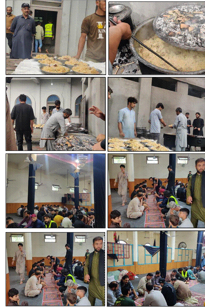
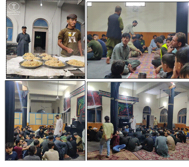
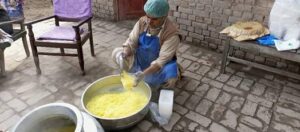
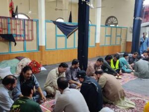
Distribution was carried out in August 2025 in district Nagar. This project targeted the most vulnerable families living in Pakistan, whereby the project team cooked the food, packed it in boxes and distributed amongst the most deserving families of the community. The project was implemented in such a way that cooked food boxes reach the most vulnerable individuals of the society.
In order to ensure that the Food boxes were distributed to the most deserving of individuals, the project team conducted a survey before distribution to identify and mark the locations, which are considered as the most deserving. The team also analyzed which of these communities had no intervention
from the government or non-governmental organizations.
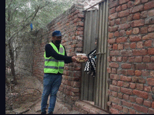
The project benefitted 520 persons (104 families) who received 01 Food box. A total of 104 cooked food boxes were distributed. The project team assured that our beneficiaries remain anonymous. The food boxes delivered at doorsteps of beneficiaries were acknowledged through the survey. The Food Distribution project was sponsored by Self-Funded Sadqa.
1 DEFINITION & ABBREVIATIONS
1.1 Definitions
| Project:
|
Food Security
Food Distribution |
| Taluka:
|
Tehsil |
| Mauza: | Towards the specified place or direction |
1.2 Abbreviations
| NGO | Non-Governmental Organization |
| FS | Food Security |
| FD | Food Distribution |
| Km
|
Kilometers |
1. AIMS & OBJECTIVES
1.1 Aims
Following are primary goals of the project:
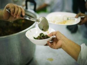
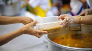
- To provide food to the most vulnerable families (irrespective of caste, creed, religion and gender) free of cost
- To serve the hunger deprived people by providing food packs
- To help the deserving daily wage workers primarily who cannot sustain themselves
1.2 Objectives
The main objective of the project is to provide food packs in all Districts of Pakistan.
The following details illustrate the project:
Project: Food Security; Food Distribution
Location: All Districts of Pakistan
2. OVERVIEW OF PROVINCES
2.1 Overview of Punjab
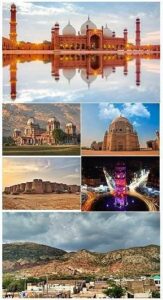
The province of Punjab, the most populous province of Pakistan and the second-largest province by area. The land of 5-rivers, population-wise the largest, and once known as the granary of east, Punjab is the lifeline of Pakistan.
The province is predominantly on plain level, however, there are some hilly areas in the North-West and extreme SouthWest. There is also a plateau adjacent to the mountains known as the Potohar plateau and a desert belt in the South Eastern part known as Cholistan. All the major rivers of the country namely Indus, Jhelum, Chanab, Ravi, & Sutlaj flow through this province. They originate from the Himalayas and pass from North-West to South-West. They are primeval in nature and the volume of water increases in the summer after the monsoon rains, resulting sometimes in floods. It contains several major cities of the country: Lahore, Faisalabad, Rawalpindi, Multan and Gujranwala.
Punjab’s economy is mainly agricultural, although industry makes a substantial contribution. The province is playing a leading role in agricultural production. It contributes about 68% to the annual food grain production in the country. 51 million acres of land is cultivated and another 9.05 million acres are lying as cultivable waste in different parts of the province. Cotton and rice are important crops. They are the cash crops that contribute substantially to the national
exchequer. Attaining self-sufficiency in agriculture has shifted the focus of the strategies towards small and medium farming, stress on barani areas, farms-to-market roads, electrification for tube-wells and control of water logging and salinity. Punjab has also more than 48 thousand industrial units. The small and cottage industries are in abundance. There are 39,033 small and cottage industrial units. The number of textile units is 11,820. The ginning industries are 6,778. There are 6,355 units for processing of agricultural raw materials including food and feed industries. Lahore and Gujranwala Divisions have the largest concentration of small light engineering units.
| Location | ||
| o Country | : Pakistan | |
| o Province | : Punjab | |
| Temperature | ||
| o Maximum Temperature | : 52 °C | |
| o Minimum Temperature | : -2 °C | |
| Demography | ||
| o Total Population (2017) | : 109 Million | |
| o Population Density | : 535.63 / Km2 | |
| o Total Area | : 205,344 Km2 | |
| o Annual growth rate | : 2.13 % | |
| o Literacy | : 64 % | |
| o Language | : Saraiki, Urdu, Punjabi, English, Pothohari | |
| Boundaries | ||
| o North | : Islamabad Capital & Azad Kashmir | |
| o North East | : Azad Jammu and Kashmir (AJ&K) | |
| o South West | : Balochistan Province | |
| o West | : Khyber Pakhtunkhwa (KPK) Province | |
| o South | : Sindh Province | |
| o East | : Indian states of Punjab and Rajasthan | |
| District Administrative Units | ||
| o Divisions | :9 | |
| o Districts | :36 | |
| o Tehsils | :146 | |
| o Union Councils | :7602 |
2.2 Overview of Sindh
Sindh is the Sanskrit word Sindh or Sindhu, literally means a river or an ocean. Its name was chosen to relate to the river Indus, the first great body of water encountered by the Aryan invaders.
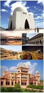
Sindh is one of the provinces of Pakistan. Located in the southeastern parts of the country, Sindh is the thirdlargest province of Pakistan by total area and the second-largest province by population after Punjab.
Sindh remained the center of the Indus Valley Civilization for decades. Evidence shows that an advanced urban civilization at Kot Diji in central Sindh dates back to 3300 B.C.E. and is considered the forerunner of the Indus Valley Civilization that flourished in the region for the next 2,000 years. Arab invaders brought Islam to the region during the 8th century C.E. and the Sindhi language developed in Arabic distinctive Nakshi script. Much of the region came into the orbit of the Mughal Empire during the 17th century-Muslim emperors ruled first through the local Kalhora clan and later through Talpurs from northern Sindh-until two major British military vic- tories in 1843, and Sindh was subsequently ruled by the Bombay Presidency which was an administrative division of British India.
Sindh lies between the two monsoons—the southwest monsoon from the Indian Ocean and the northeast or retreating monsoon, deflected towards it by the Himalayan mountains and escapes the influence of both.
The region’s scarcity of rainfall is compensated by the inundation of the Indus twice a year, caused by the spring and summer melting of Himalayan snow and by rainfall in the monsoon season.
Sindh is divided into three climatic regions: Siro (the upper region, centered on Jacobabad), Wicholo (the middle region, centered on Hyderabad), and Lar (the lower region, centered on Karachi). The thermal equator passes through upper Sindh, where the air is generally very dry. Central Sindh’s temperatures are generally lower than those of upper Sindh but higher than those of lower Sindh. Dry hot days and cool nights are typical during the summer. Central Sindh’s maximum temperature typically reaches 43–44 °C (109–111 °F). Lower Sindh has a damper and humid maritime climate affected by the southwestern winds in summer and northeastern winds in winter, with lower rainfall than Central Sindh. Lower Sindh’s maximum temperature reaches about 35–38 °C (95–100 °F). In the Kirthar range at 1,800 m (5,900 ft) and higher at Gorakh Hill and other peaks in Dadu District, temperatures near freezing have been recorded and brief snowfall is received in the winters.
| Location | ||
| o Country | : Pakistan | |
| o Province | : Sindh | |
| Temperature | ||
| o Maximum Temperature | : 46 °C | |
| o Minimum Temperature | : 2 °C | |
| Demography | ||
| o Total Population (2017) | : 47.89 Million | |
| o Population Density | : 340/ Km2 | |
| o Total Area | : 140,914 Km2 | |
| o Annual growth rate | : 2.41% | |
| o Literacy | : 58 % | |
| o Language | : Sindhi, Saraiki, Urdu, Punjabi, English | |
| Boundaries | ||
| o North | : Balochistan Province | |
| o North East | : Punjab Province | |
| o West | : Balochistan Province | |
| o East | : Indian states of Punjab and Rajasthan | |
| District Administrative Units | ||
| o Divisions | :7 | |
| o Districts | :30 | |
| o Tehsils | :138 | |
| o Union Councils | :1108 |
2.3 Overview of Khyber Pakhtunkhwa
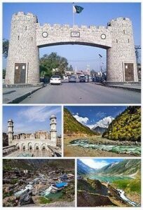
Khyber Pakhtunkhwa often abbreviated as KP or KPK and formerly known as the North-West Frontier Province, is one of the four provinces of Pakistan.
Khyber Pakhtunkhwa consists of mountain ranges, undulating submontane areas, and plains surrounded by hills. The mountain ranges generally run in the north-south which is the south of the River Kabul. It divides the Khyber Pakhtunkhwa from east to west. The Hindu Kush region in the North is known for its exotic beauty. The highest peak of the northern Hindu Kush is the Tirich Mir. The rugged basins of the Panjkora, Swat, and Kandia rivers lie in the south of the Hindu raj. The region is tremorous with mild to moderate tremors frequently.
Geographically, the province of Khyber Pakhtunkhwa is divided into two zones, the northern zone, and the southern zone. The northern zone scopes from the Hindu Kush to the borders of the Peshawar basin. The climate of the northern zone is snowy and cold with heavy rainfall in winters. It has pleasant summers with moderate rainfall excluding the Capital Peshawar which is hot in summer.
The southern zone ranges from Peshawar to the Derajat basin. It has hot summers with relatively cold winters with minimal rainfall.
Nature has gifted Khyber Pakhtunkhwa with rich cultural and tourism friendly environment. It has the potential of becoming a big tourist attraction in the world due to its scenic beauty, geographical location, climate and natural resources. The essence of this attraction is visible from the remarkable natural picturesque comprising beautiful rivers, splendid waterfalls, and spellbound lakes mostly in the mountainous region and green valleys in most parts of the province. Due to its geographical location, Khyber Pakhtunkhwa had been a confluence of different civilizations which flourished and vanished with the passage of time.
The quasi contiguity of the province with the Central Asian states and with Xiangyang province of China attracted many migrants, businessmen, warriors and fortune seekers in different times for settlement. The interaction among different races and their co-existence led to a rich cultural heritage in this province which are evident from the Ghandhara archaeological sites at Gur Khattree Peshawar, Takh-Bahi (Mardan), Seri Behlol (Mardan) and Shabaz Gari (Mardan). Nimo Gram Buddhist Stupa (Swat), and collection of Ghandhara art preserved at Swat Museum, Chakdara museum (Dir Lower) and Peshawar museum.
| Location | ||||
| o Country | : Pakistan | |||
| o Province | : Khyber Pakhtunkhwa (KPK) | |||
| Temperature | ||||
| o Maximum Temperature | : 45 °C | |||
| o Minimum Temperature | : -1 °C | |||
| Demography | ||||
| o Total Population (2017) | : 35.53 Million | |||
| o Population Density | : 238/ Km2 | |||
| o Total Area | : 101,741 Km2 | |||
| o Annual growth rate | : 2.8% | |||
| o Literacy | : 53 % | |||
| o Language
Kohistani, Urdu |
: Pashto, Hindko, | Saraiki, | Khowar, | |
| Boundaries | ||||
| o North/ North West | : Afghanistan | |||
| o North East | : Northern Areas | |||
| o South | : Dera Ghazi Khan district | |||
| o West | :Federally Administrated Tribal Areas | |||
| (FATA)
o East |
: Azad Jammu and Kashmir & Punjab | |||
| District Administrative Units | ||||
| o Divisions | :7 | |||
| o Districts | :35 | |||
| o Tehsils | :105 | |||
| o Union Councils | :986 | |||
3. PROJECT DETAILS
| Event Details | |
| o Project Start Date | : 15 August, 2025 |
| o Project End Date | : 15 August, 2025 |
| o Food Distribution Date | : 15 August, 2025 |
| o Food Distribution Time | : 01:00 PM to 03:30 PM |
| o Total Distributed Food Box / Meal | : 104 No. |
| o Number of Beneficiary Families | : 104 |
| o Number of Beneficiaries | : 520 |
| Event Location | |
| o Country | : Pakistan |
| o Province | : Gilgit Baltistan |
| o District | : Nagar |
| o Tehsil | : Sikander Abad |
| o Union Council | : Phekar |
| o Village | : Miacher |
4. SPONSORSHIP
Sponsorship details of the project is given below:
- Donated by : Self-Funded Sadqa
- Donated in the Name of : Self-Funded Sadqa
5. VOLUNTEERS
- Akbar Ahmad
- Qurat-ul-Ain
- Hamid Raza
- Amir Malik
- Ehsan Bashir
- Aslam
- Fiaz
- Imtiaz
- Mohsin Farooq
- Murid Kazim
6. STATISTICS
Statistics of the project are summed up in the following table.
| Sr. No. | Quantity | & Number of Beneficiaries
|
| Menue | Quantity
|
|
| 1 | Chicken Pilao | 12 Kg |
| Total No. of Beneficiaries | 520 | |
7. PICTURE GALLERY